Evidence for Missouri Communities
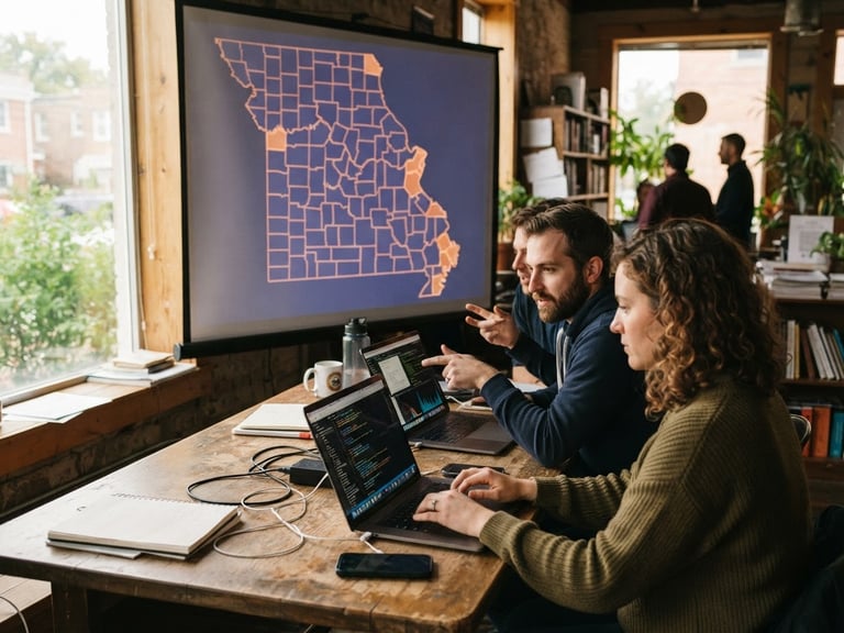
We translate complex regional datasets into accessible, open-source mapping tools. Our independent digital research equips local planners, researchers, and public services with the evidence needed to drive equitable development.
Regional Mapping & Research
Asset Mapping
Demographic Trends
Civic Tech Tools
Interactive spatial models tracking neighborhood resources, healthcare access, and educational infrastructure across St. Louis and rural counties.
Clean, open-access dashboards visualizing regional population shifts, economic indicators, and public transit connectivity for local decision-makers.
Collaborative open-source repositories designed in partnership with local universities to simplify public records analysis and community reporting.
Data for Public Good
114
Missouri municipalities mapped
45k+
Public database queries
12
University research partners
Partner on Civic Research
We collaborate with academic institutions, municipal planners, and local nonprofits to build custom data models. Let's design the tools your community needs.
ARCH DATA NETWORK, INC
Nonprofit Organization – Data & Technology for Stronger Communities
Sitemap
Home
About Us
Programs
Support Us
Contact Us
ARCH DATA NETWORK, INC-Registered 501(c)(3) nonprofit serving Missouri communities.
DATA FOR THE PUBLIC GOOD